HASELHOEF MD SOLUTIONS
WINGTRA
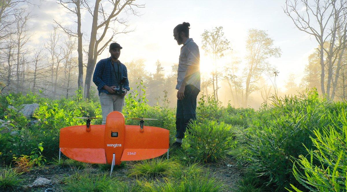
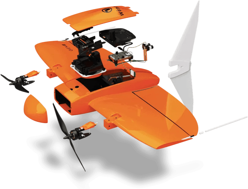
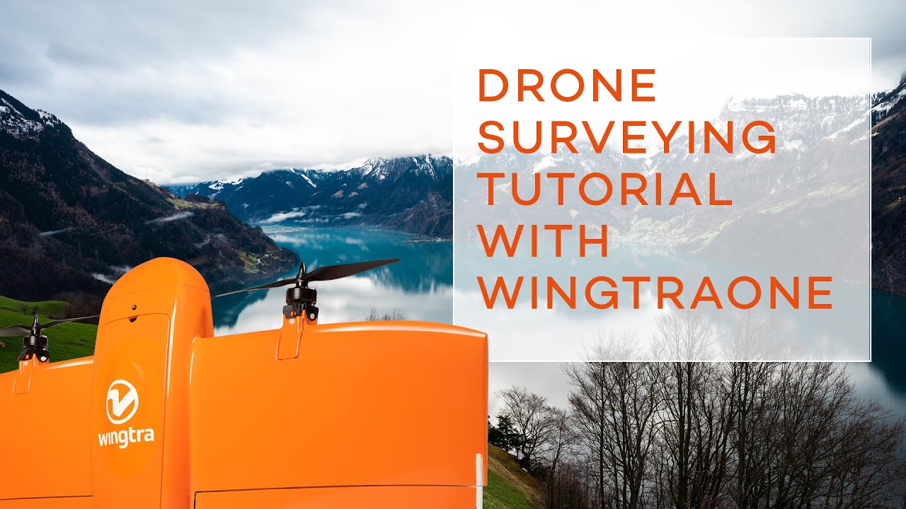
WingtraOne GEN II
A mapping drone for fast and accurate surveying data every time

Fast and accurate survey data every time
WingtraOne is an easy-to-use drone that delivers consistent, high-quality survey data faster and at a lower cost than other surveying tools.
Get your survey data faster
The WingtraOne mapping drone’s unique set of features empowers you to minimize your time flying and get more work done, be it another project in the field or analyzing your data at the office.
.png)
Efficient fixed-wing flightFly at 16 m/s (36 mph) for up to 59 minutes per flight for large coverage
61 MP cameraWingtraOne can fly higher than drones limited to 20 MP cameras, so you capture more ground and more detail with every picture and a larger area per flight
No more GCPs, checkpoints onlyWith an onboard high-precision PPK GNSS receiver you no longer need to lay out ground control points (GCPs). Use as few as three checkpoints to verify your map quality
Lower image overlapsHigh quality optics means you can reconstruct your map reliably even with lower overlaps. This means more new ground covered per flight line and maximum coverage per flight

WingtraOneRGB6161 MP sensor310 ha (766 ac)
at 120m (400 ft) altitude

Other fixed-wing drones20 MP sensor170 ha (420 ac)
at 93m (305 ft) altitude

Multicopter drones20 MP sensor29 ha (71 ac)
at 69m (226 ft) altitude
WingtraOneLIDAR360 ha (890 ac)
Multicopter dronesLIDAR144 ha (356 ha)
A drone you can rely on
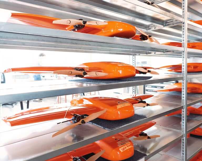
Engineered and assembled in Switzerland
Each fixed-wing drone is subjected to more than 300 rigorous tests to ensure the highest quality standard.
Industry-leading reliability
More than 100,000 flights and 6 years of continuous testing and enhancements will ensure maximum up-time for your operations.
Automated safety checks
Before every flight, the WingtraOne automatically checks its own sensors and actuators to make sure you can fly safely.
Predictive self-diagnosis
WingtraOne self-diagnosis component malfunctions using advanced machine learning algorithms based on thousands of flights.
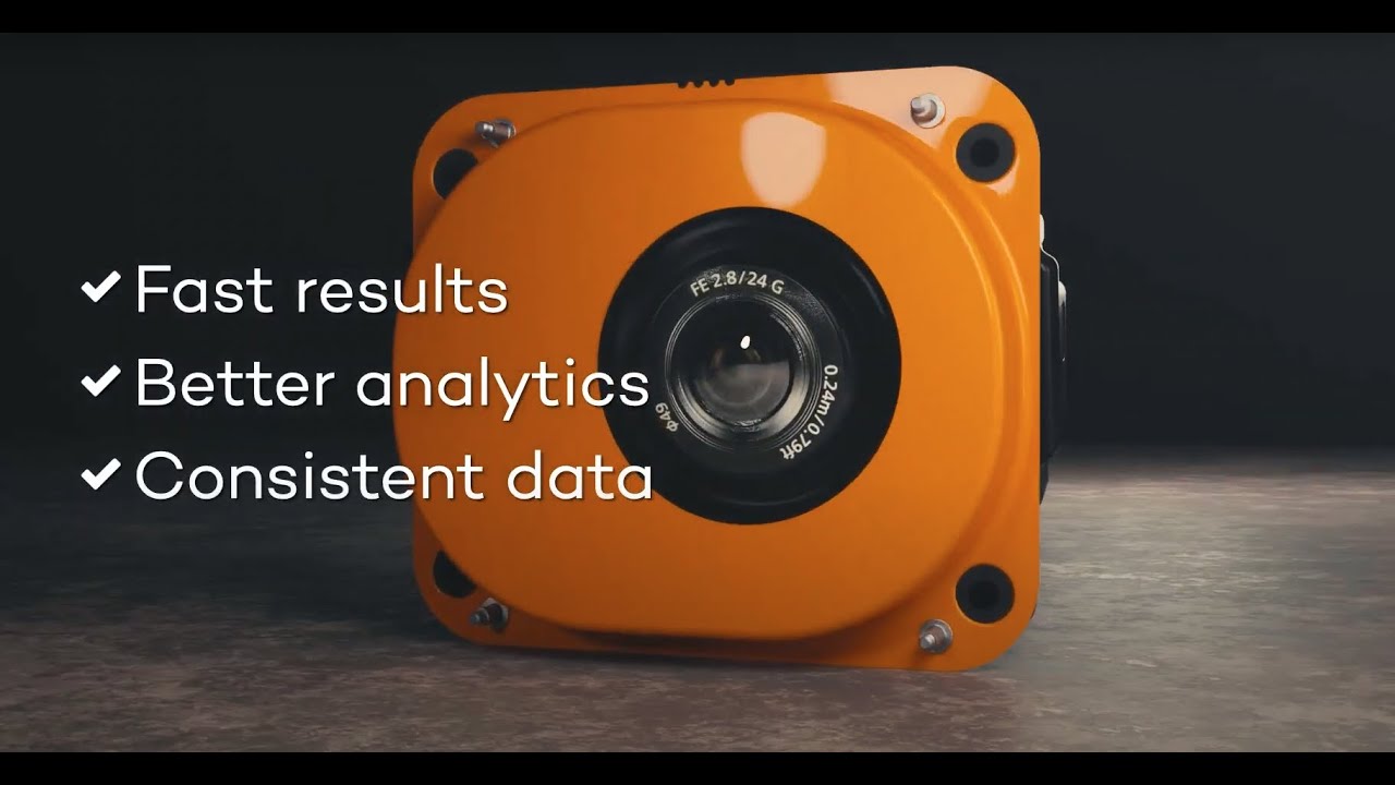
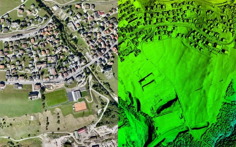
A camera for every job
WingtraOne makes no compromises on aerial image quality. Wheter you need data for orthophotos, 3D models or multispectral mapping. it carries the best camera for every application. As you exchange cameras in the field, various types of data can be acquired with the same drone.
.JPG)
Software for a smooth workflow
WingtraOne comes with a rugged tablet and a feature-rich, easy-to-use flight planning app, so you can perform successful data collection from day one.

KML import
For a seamless mission, simply import KML files directly from GIS programs. WingtraPilot will construct the optimal flight path to cover the area.

Pause and resume
At any time during flight, you can either pause and resume the survey mission or prompt the drone to fly back to its take-off location automatically.

Corridor mapping
The feature enables fast, efficient coverage of long, narrow stretches such as roads, pipelines or rivers.

Offline maps
No internet connection in the field? No problem. You can always download offline maps in advance while you’re still connected to the internet.

Terrain following
Safe and effective mapping from steady altitudes in even the most mountainous areas thanks to global terrain models or your own custom elevation data.

Battery swap and resume
Automatically splits large missions, pausing flight and resuming after the batteries have been swapped.
About Wingtra
Wingtra is the world’s leading VTOL drone producer for mapping, survey and mining industry professionals. Since its market entry in early 2017, Wingtra has partnered with more than 70 of the biggest equipment dealers and has been selling mapping drones globally ever since.
Wingtra is based in the heart of Zurich, Switzerland. In a 1,000 m2 (10,800 ft2) office, the company houses 100+ employees, out of which more than 30 focus on R&D. Wingtra’s engineers are graduates from the world’s 3rd best university for engineering and technology, ETH Zurich (Top Universities, 2019) and are among the leading research engineers in VTOL technology. Drones are assembled in-house in Zurich by our production team, and technical specialists support our customers globally.
Wingtra applications across industries
Surveying and GIS
● Land surveying● Cadastral maps● Topographical surveys● Precise measurements● Land management and development● Urban planning
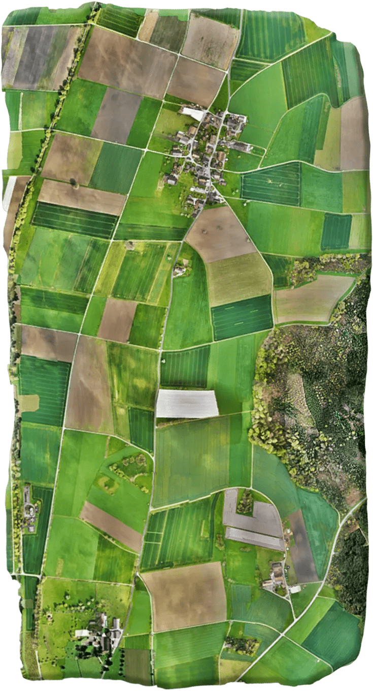
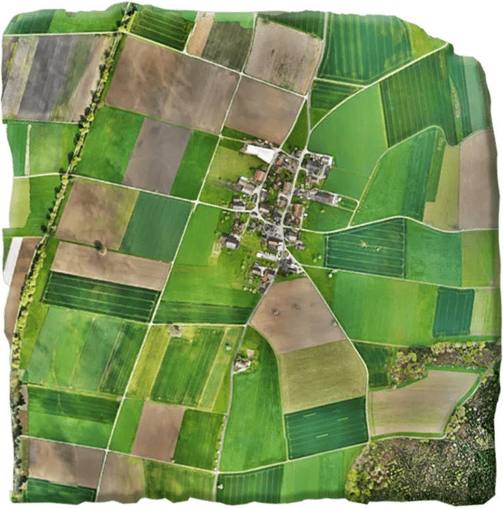
Drone technology represents a huge potential for surveyors and GIS professionals. It greatly cuts the cost and work hours of data capture. Further, you can survey otherwise unreachable areas and deliver high-resolution aerial maps that would be otherwise impossible to produce in a safe or cost-effective way.
Mining and aggregates
● Inventory and management of stockpile volume● Mine or quarry monitoring and operation planning● Assessment before drilling or blasting● Road monitoring● Slope monitoring●Hazard identifications
Improve the management efficiency of large mining sites and quarries by providing complete data about the state of the site in a short turnaround time. Data can be safely produced by workers on site without the danger of climbing stockpiles or walking amidst moving construction equipment. All of this at a fraction of the cost of traditional surveying methods and without machinery disruption.

.JPG)
Construction and infrastructure
● Volume measurements● 3D models of sites● Tracking construction progress
WingtraOne helps construction professionals to quickly drone map large or unreachable areas for pre-built uation. It also decreases costs and improves the turnaround time for surveying and construction while helping you stay on track with your budget and timeline throughout a project.
.JPG)
.JPG)
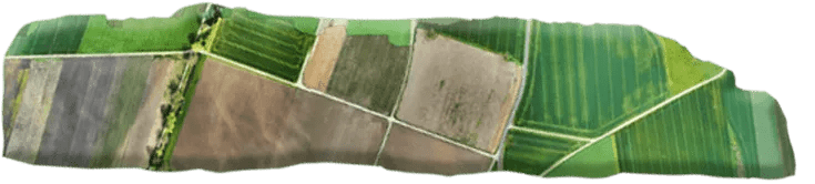
Agriculture
● Monitor plant health● Perform plant count● Optimize plant ROI● Assess losses after major weather event
The WingtraOne professional drone produces multispectral imagery to provide accurate plant counts or identify plants’ health problems early on. This data can be used to prevent costly spread of diseases or invasive species. It can also provide valuable insights to boost yield productivity.
.JPG)
.JPG)
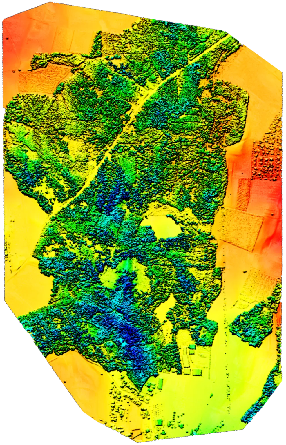
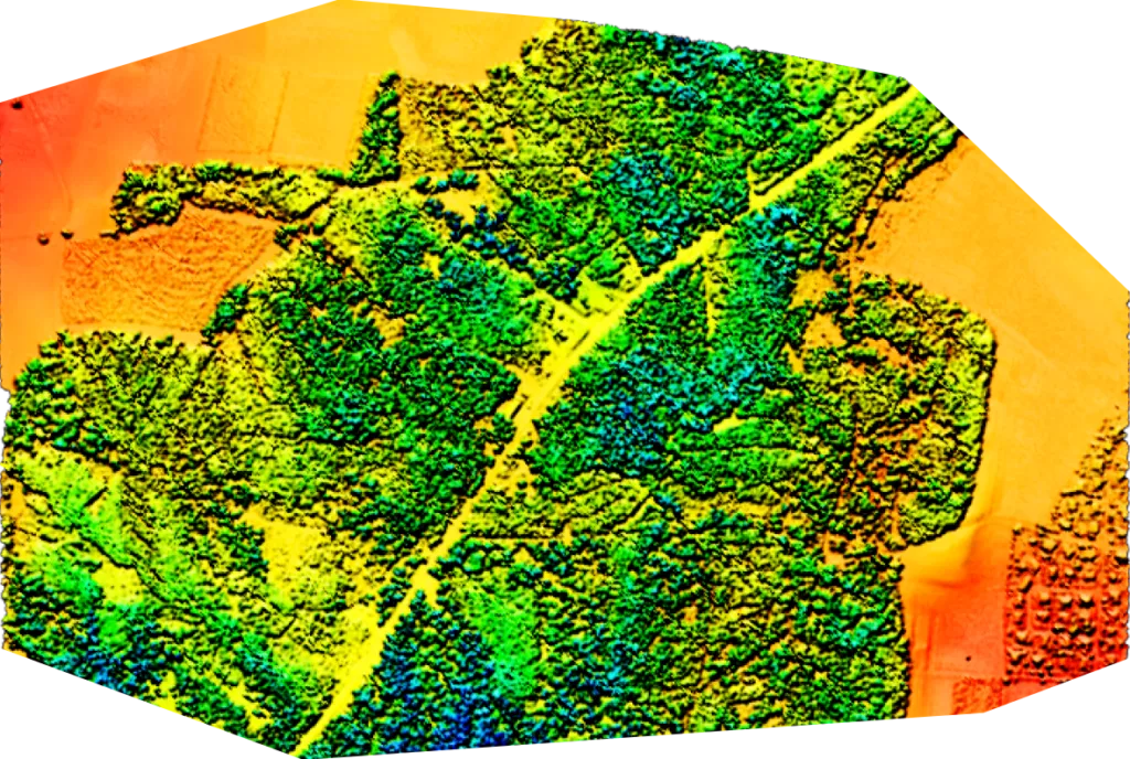
Environmental monitoring
● Population monitoring and control● Classify areas● Volumes● Monitor land change
Drones equipped with multispectral cameras are transforming agriculture, forestry, and environmental research by providing detailed, on-demand data that overcomes the limitations of satellites.
Conservationists and researchers use commercial drones to easily and quickly track wildlife or monitor land changes without the need for low-resolution satellite images or costly manned aircraft.